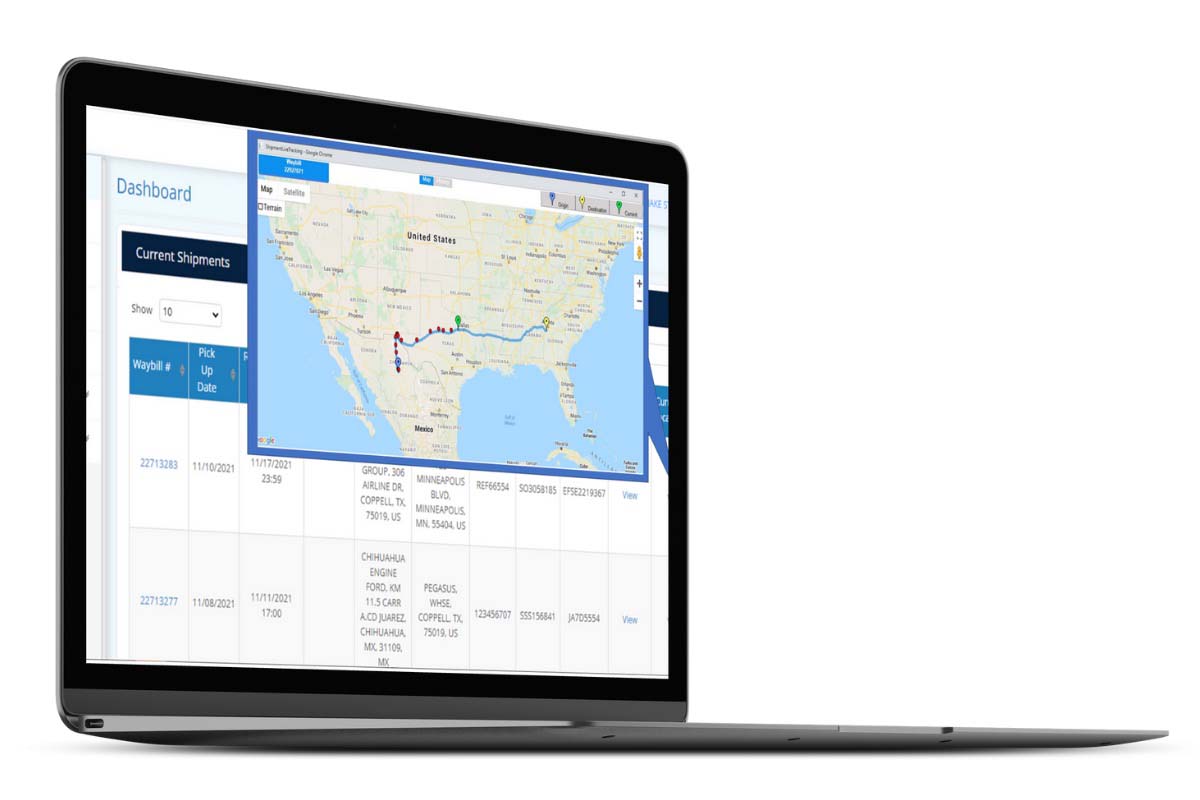
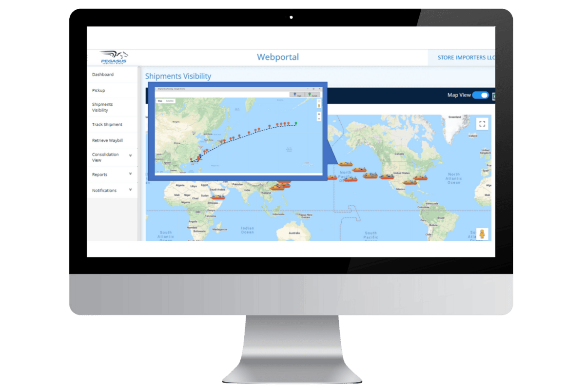
We know that visibility is crucial at all times, especially with your international logistics when freight is ocean-bound. Our team provides an air and ocean visibility tool and other tracking resources so that you can have peace of mind about where your cargo is and when it will reach its destination.
Our online portal map uses GPS device technology combined with real-time location feeds from our partners to show the current location of your ocean, air, and ground shipments. You can see a comprehensive view of all your orders at once and drill in to see the details on a single shipment.
The Pegasus visibility tool allows you to:
- View your up-to-date container locations on a map
- Find containers by shipping #’s, order #’s, and reference #’s
- Drill in to see container transit history

Forecast Flawlessly
Having complete, real-time visibility of your orders is just one part of the equation. We have developed an AI tool that allows you to predict your day-to-day and week-to-week ocean freight arrival times. This tool will enable you to see real-time accuracy in tracking your freight from origin to your destination cities. It also allows us to work proactively with you and your shippers to push your ocean freight to the proper port of entry to maximize speed to market and help eliminate delays. Our proprietary algorithm uses AI to calculate ETA based on several data points, including port conditions, weather events, lane history, carrier history, and other details.
- Combined with GPS device technology on the ground, you can see a complete view of the shipment track in the ocean and air. On your multi-modal shipments, you will have end-to-end visibility as it moves from truck to sea, ocean to rail, truck to air, and more.

